Overview
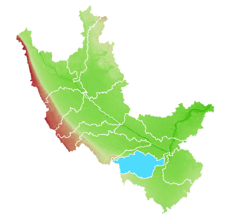
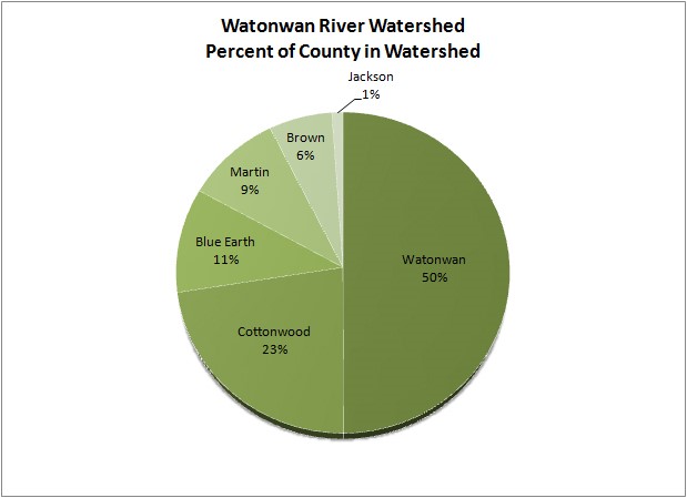
The Watonwan River Watershed in south central Minnesota covers 561,620 acres (878 square miles) in Blue Earth, Brown, Cottonwood, Jackson, Martin, and Watonwan counties in south central Minnesota. The Watonwan River rises in central Cottonwood County and flows 113 miles through flat farmland in northern Watonwan and western Blue Earth counties, past the city of Madelia, until it flows into the Blue Earth River about eight miles southwest of Mankato.
Major cities include St. James, Madelia, Mountain Lake, Truman, Butterfield, Lewisville, Ormsby, Bingham Lake, Darfur, and Odin. Major streams include Watonwan River, North Fork of the Watonwan River, South Fork of the Watonwan River, Perch Creek, and St. James Creek. The total distance of the stream network is 1,074 miles, of which, 685 miles are intermittent streams and 389 miles are perennial streams. Major lakes include Mountain Lake, Wood Lake, Lake Hanska and Fish Lake.
The Watonwan River Watershed lies within the Minnesota River Basin.
Watonwan River Watershed Overview Video
What is a watershed?
A watershed is the land area that drains water to a particular stream, river, or lake. It is a land feature that can be identified by tracing a line along the highest elevations between two areas on a map, often a ridge watershed is like a funnel – collecting all water within the drainage area and channeling it into a stream, river or lake.